 Owlbright
How a puzzle plays
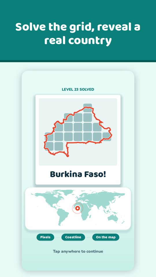
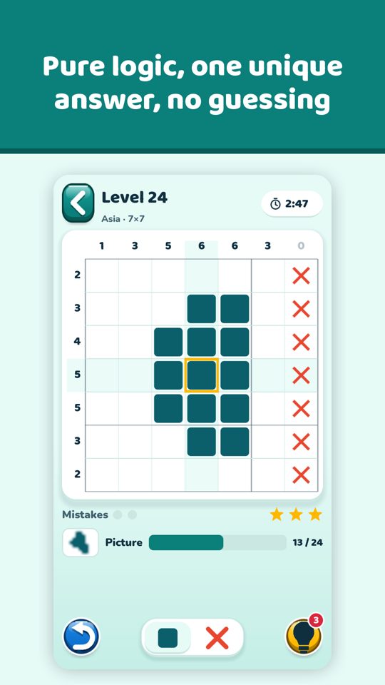
The numbers beside each row and column tell you how many filled cells come in a row. Fill the right cells, mark the empty ones with X, and the hidden place appears.
Free to play, Pro if you want more
Free
- 150 country pictures in 5 continent albums
- Grids from 5 to 20 cells wide, getting harder step by step
- A blurred preview: name the place before you finish
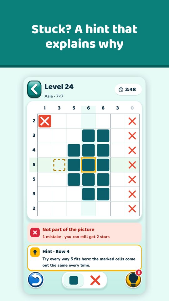
- 3 free hints a day, undo, auto-X and a dark mode
Pro
One-time purchase, US$3.49 in the United States
- Islands of the World album with 40 islands
- US States album with 50 state shapes and capitals
- No full-screen ads, no subscription
Fair by design
- 240 puzzles, each checked by a solver for one unique logical answer
- No lives and no game-over screen
- No ads in the first 5 levels and never in the middle of a grid
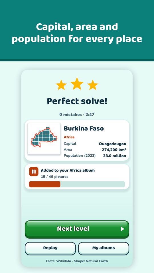
- Shapes from Natural Earth (public domain), facts from Wikidata (CC0)
- Plays offline, no account
- English, German, Spanish, Portuguese (Brazil) and French
Coming soon to Google Play